Where MVR 19 is: Mavromataion Street, Patras
A short residential street in the south of Patras, about 1 km from the port and about 2 km south of the city centre. Every distance on this page was measured with OpenStreetMap routing.
Psachou and Zarouchleika, next to the South Port
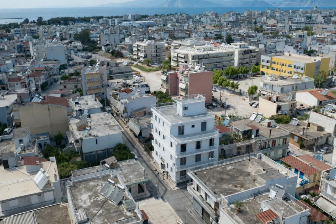
Mavromataion Street (Μαυροματαίων) is about 150 m long. It lies in the Psachou district, in the Zarouchleika quarter of the South Sector of Patras.
Transport apps label the wider area Terpsi, the district around the new South Port, the city's ferry terminal for Italy. It is a dense residential quarter of apartment blocks between the port and South Park, within walking distance of St Andrew General Hospital and the Koukouli university campus.
The Eglykada junction of the Patras Ring Road (A5) serves the port, Zarouchleika and St Andrew Hospital, so the motorway to Athens is reached without crossing the city centre.
The centre point of the street is 38.2286 N, 21.7331 E. The exact building address is given on request.
How far everything is
Measured from Mavromataion Street in September 2026. Straight-line distance where stated, otherwise by road or on foot.
Within walking distance
Across the city
Around Patras
Further afield
How we measured. Straight-line distances are calculated from the centre point of Mavromataion Street (38.2286 N, 21.7331 E). Walking and driving distances and times come from OpenStreetMap routing (OSRM) in free-flowing traffic, measured in September 2026. They start from the street, not the building door, so real journeys can differ by a few minutes. The public-transport time to Rio is our estimate from the published timetables. Figures in earlier project brochures, such as 1.2 km to the hospital and 3 km to the centre, are superseded by these.
Getting around without a car
The port, St Andrew Hospital and the Koukouli campus are within walking distance. The Rio campus is reached by bus, suburban rail or car.
City buses
City buses stop about 3 minutes' walk away. Check current routes and timetables with the Patras city bus operator (Astiko KTEL) before relying on a particular line.
Suburban rail
The Antheias stop on Line 1 (Agios Andreas–Kaminia) is about 1.4 km away, roughly 19 minutes on foot. Line 2 runs from Agios Andreas station, about 1.8 km away, to Rio in 14 minutes, roughly hourly from 06:30 to 23:30. A Hellenic Train feeder bus links Kastelokampos station with the University and the University Hospital.
Taxi and car
Taxis serve the whole city. By car the Rio campus is about 13 minutes away in free-flowing traffic and the port gate about 5 minutes (3.3 km). The A5 ring road and the Olympia Odos motorway to Athens are reached at the Eglykada junction.
MVR 19 on the map
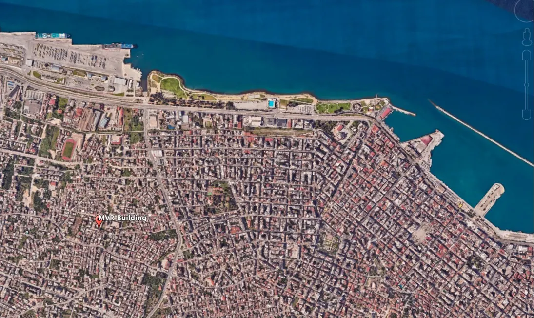
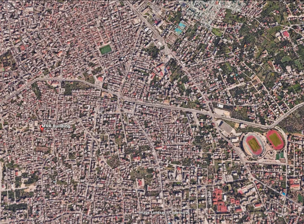
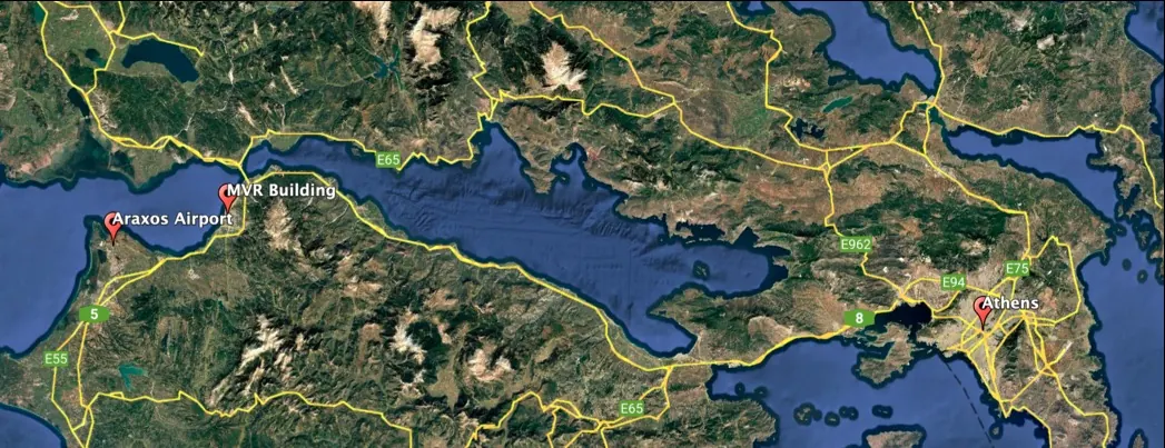
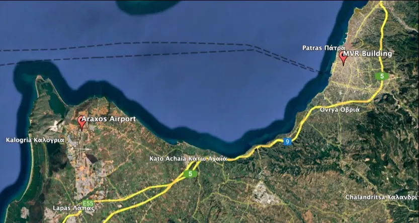
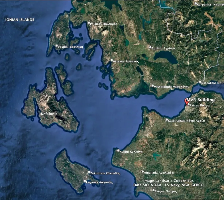
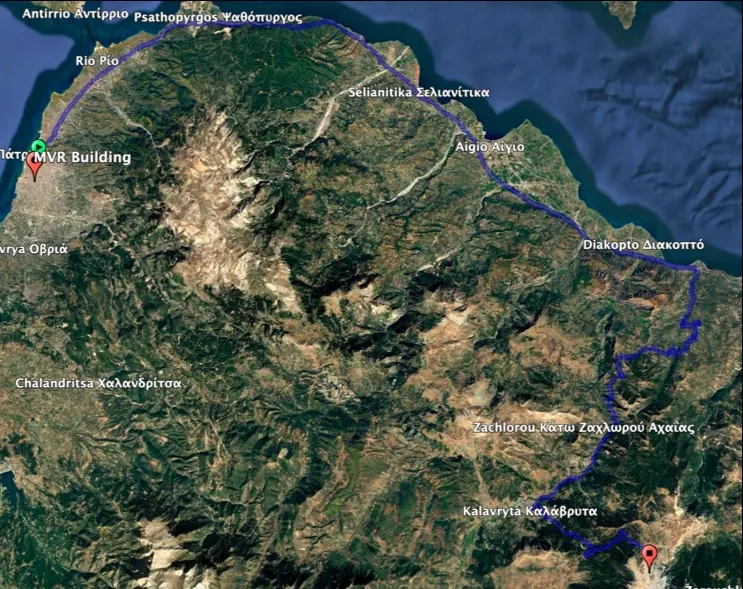
These satellite maps come from the MVR 19 project brochure and are illustrative. Select a map to enlarge it; its caption gives the re-measured distances. For an interactive map, open Mavromataion Street in OpenStreetMap.
Ask for the exact address and the plans
We share the building address, floor plans and the legal pack on request, and reply within one business day in English or Greek.